Esri India launches Digital Atlas Program for schools
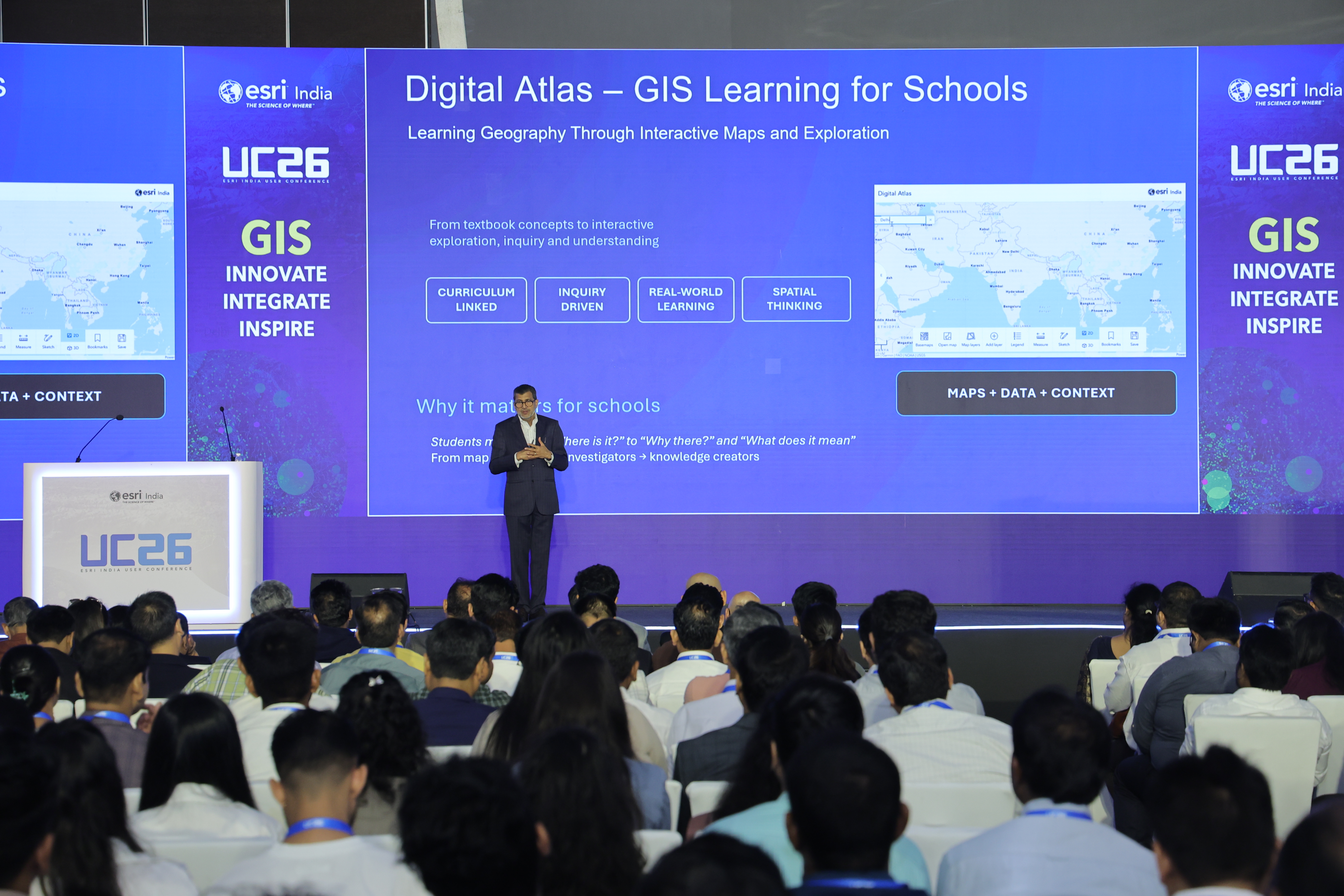
NEW DELHI: Esri India, a leading provider of Geographic Information System (GIS) software, location intelligence and mapping solutions, has launched the Digital Atlas Program, an initiative aimed at making geography education more engaging, interactive and relevant for school students across the country.
Supported by ArcGIS Online, the programme will be available free of cost to schools across India. It offers curriculum-aligned content and ready-to-use resources designed to help teachers create classroom experiences that encourage curiosity, exploration and a deeper understanding of real-world geographical phenomena.
The programme aims to move geography learning beyond traditional textbook-based instruction by encouraging students to investigate the relationships between people, places and the environment. Through interactive maps and data-driven exploration, students will be encouraged to ask questions, analyse patterns and connect classroom concepts with situations in the real world.
According to Esri India, the initiative seeks to take students from being map users to map investigators and, eventually, knowledge creators. Students will be able to explore the world beyond the textbook, investigate geographical questions and transform their findings into creative projects.
Agendra Kumar, Managing Director, Esri India, said the Digital Atlas Program is intended to change how students approach geography by encouraging them to ask not only where something is, but also why it is there, what it is connected to and what geographical patterns reveal.
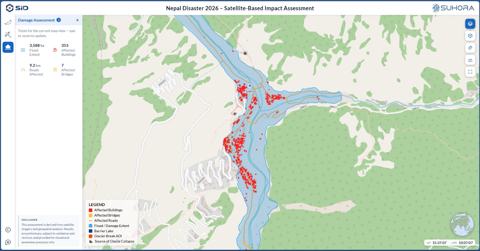
He cited urban flooding as an example, where students could investigate where flooding occurred, why it happened, how many people were affected, what could trigger similar incidents in the future and what measures could help prevent it. According to him, the programme brings together maps, data and contextual information to encourage this kind of inquiry-based learning while remaining aligned with the school curriculum.
GIS and geospatial technologies are increasingly being used to understand and address complex challenges associated with a rapidly changing world. Esri India believes that introducing spatial thinking at the school level can help students develop the ability to examine real-world issues from a geographical perspective.
The Digital Atlas Program builds on Esri India's experience of working with schools, colleges and universities to promote awareness and adoption of GIS and geospatial technologies. Beyond teaching students how to use maps, the initiative aims to develop analytical and spatial-thinking skills that can help them understand patterns, relationships and challenges in their surroundings.